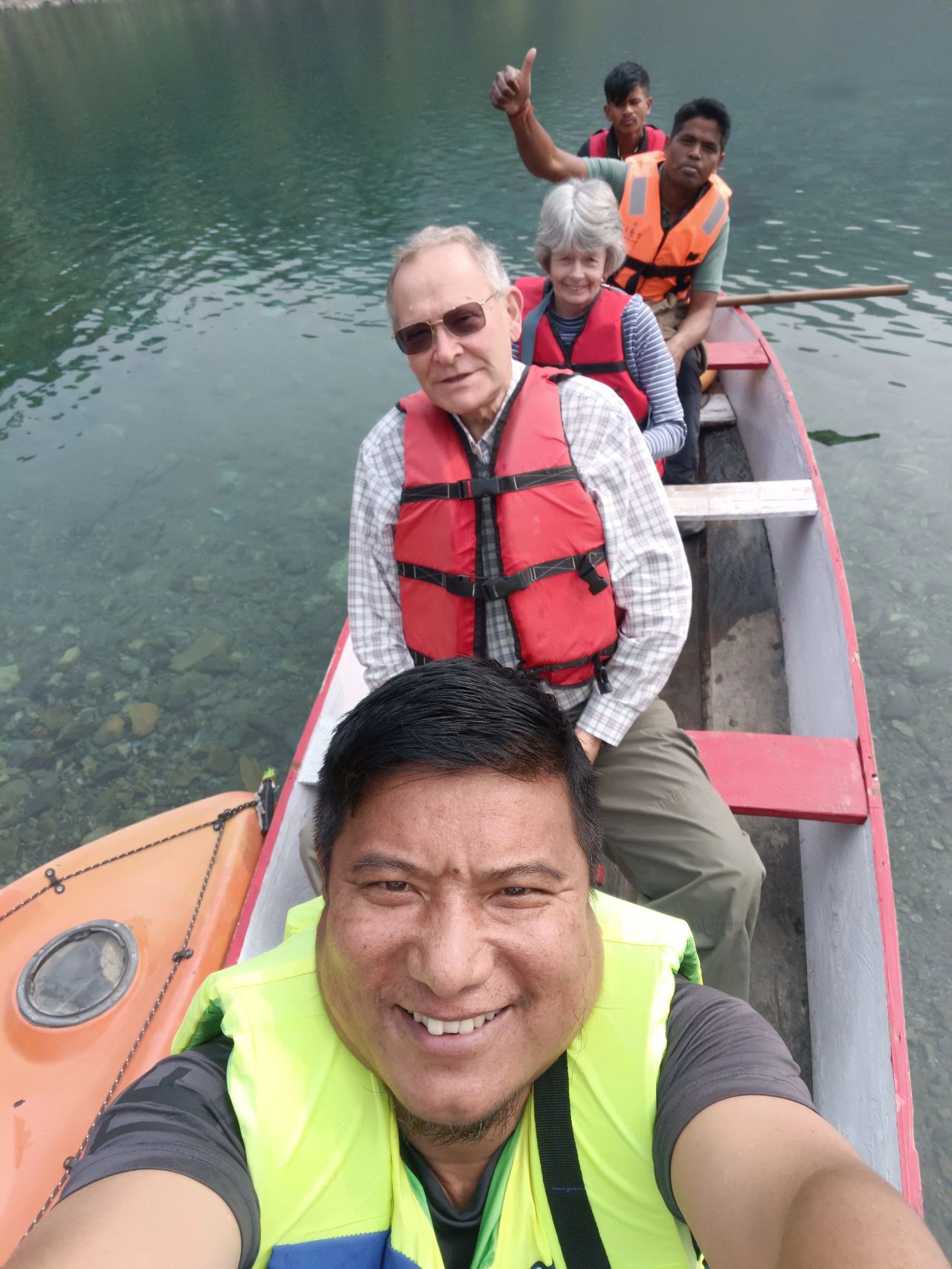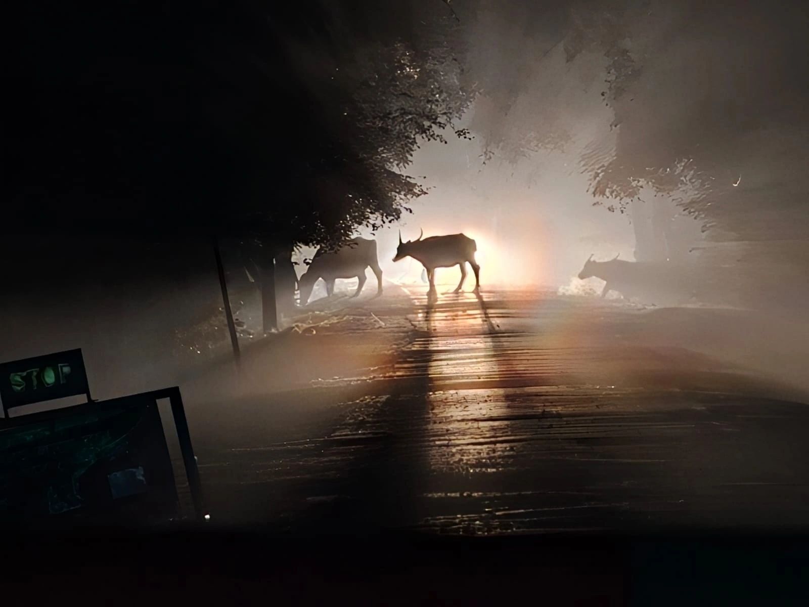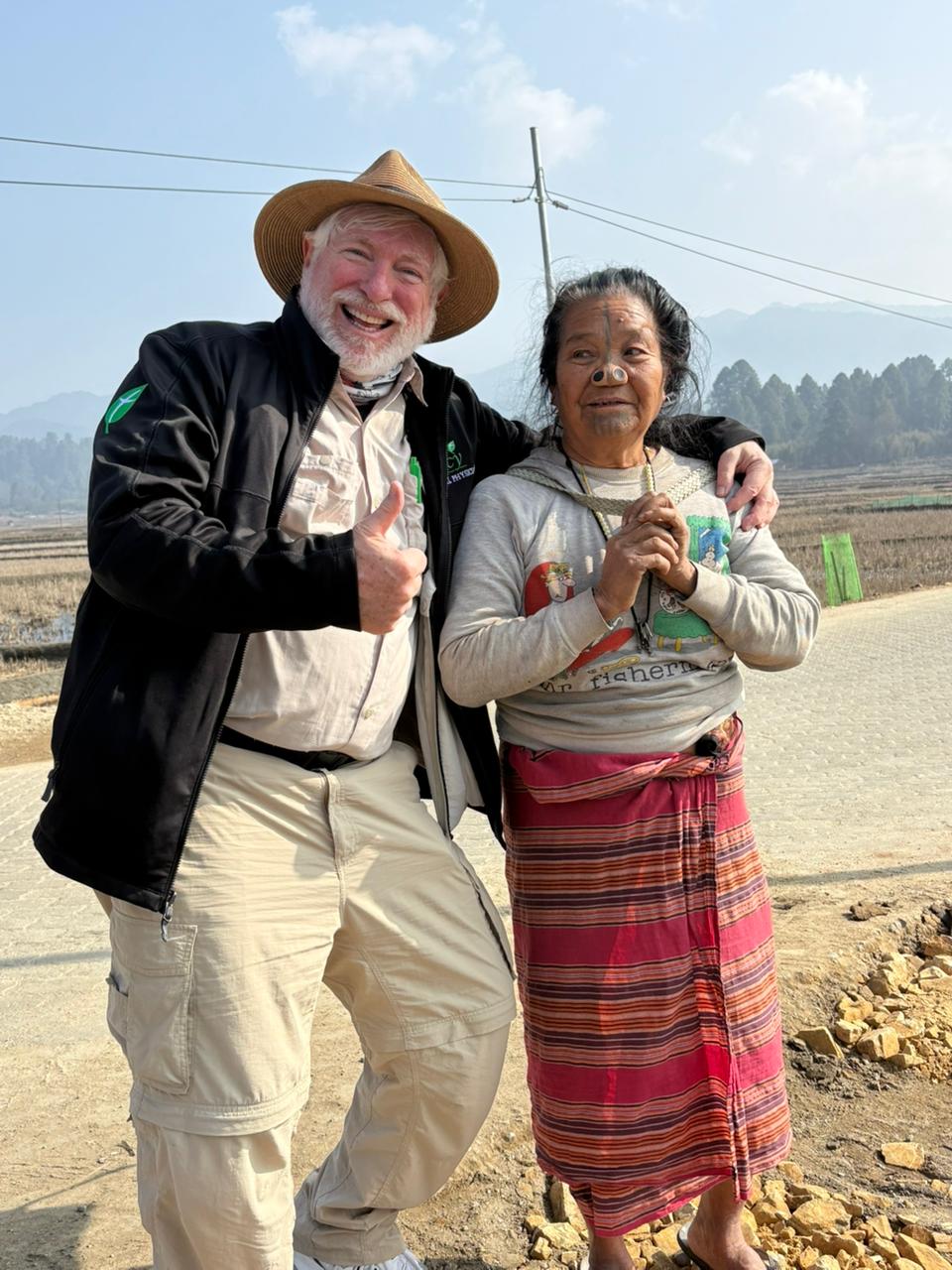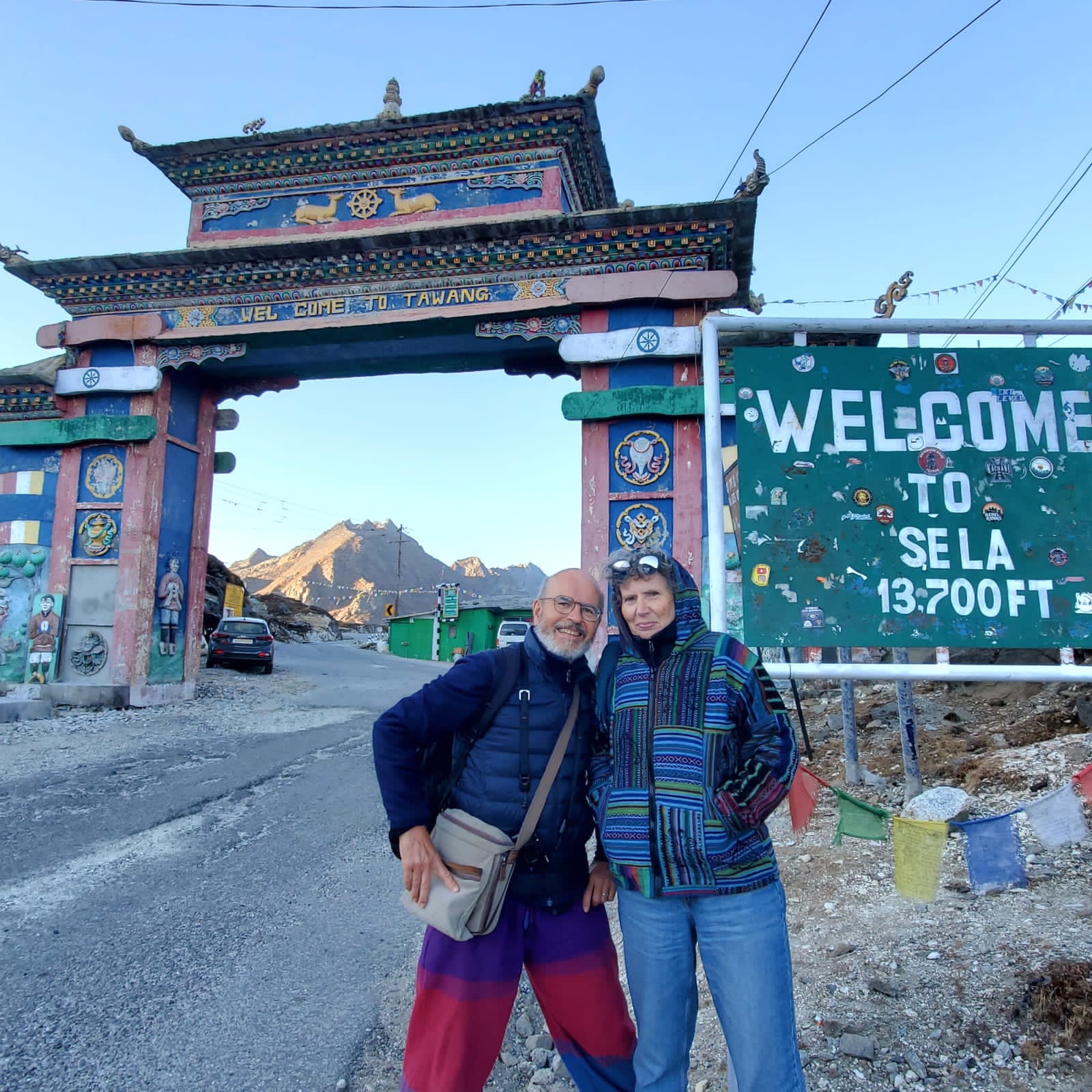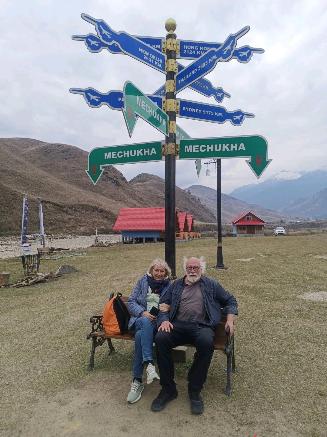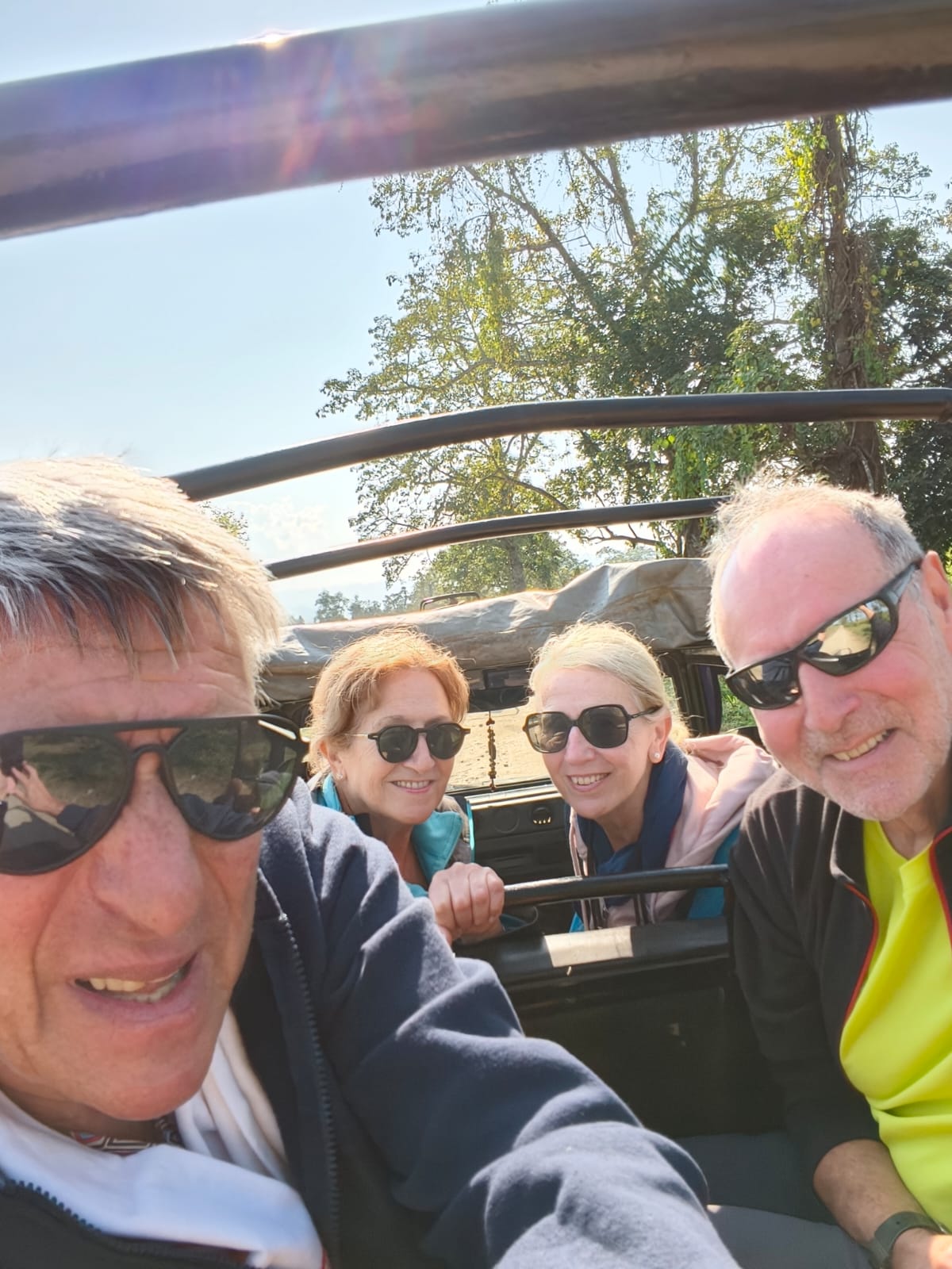
Thierry Perroncel and his group spent nineteen days crossing Northeast India — from the Khasi Hills of Meghalaya into the tea country of Assam, through four different ranges of Kaziranga National Park, up into the Naga Hills for three days at the Hornbill Festival, and then east along the Brahmaputra to Majuli, Namphake and Duliajan before flying out of Dibrugarh.
Journey Overview
Nineteen days, three states, and a route that changed landscape roughly every three days: sandstone plateau and gorge country in Meghalaya, tea gardens and grassland in Assam, and the ridgelines of the Naga Hills.
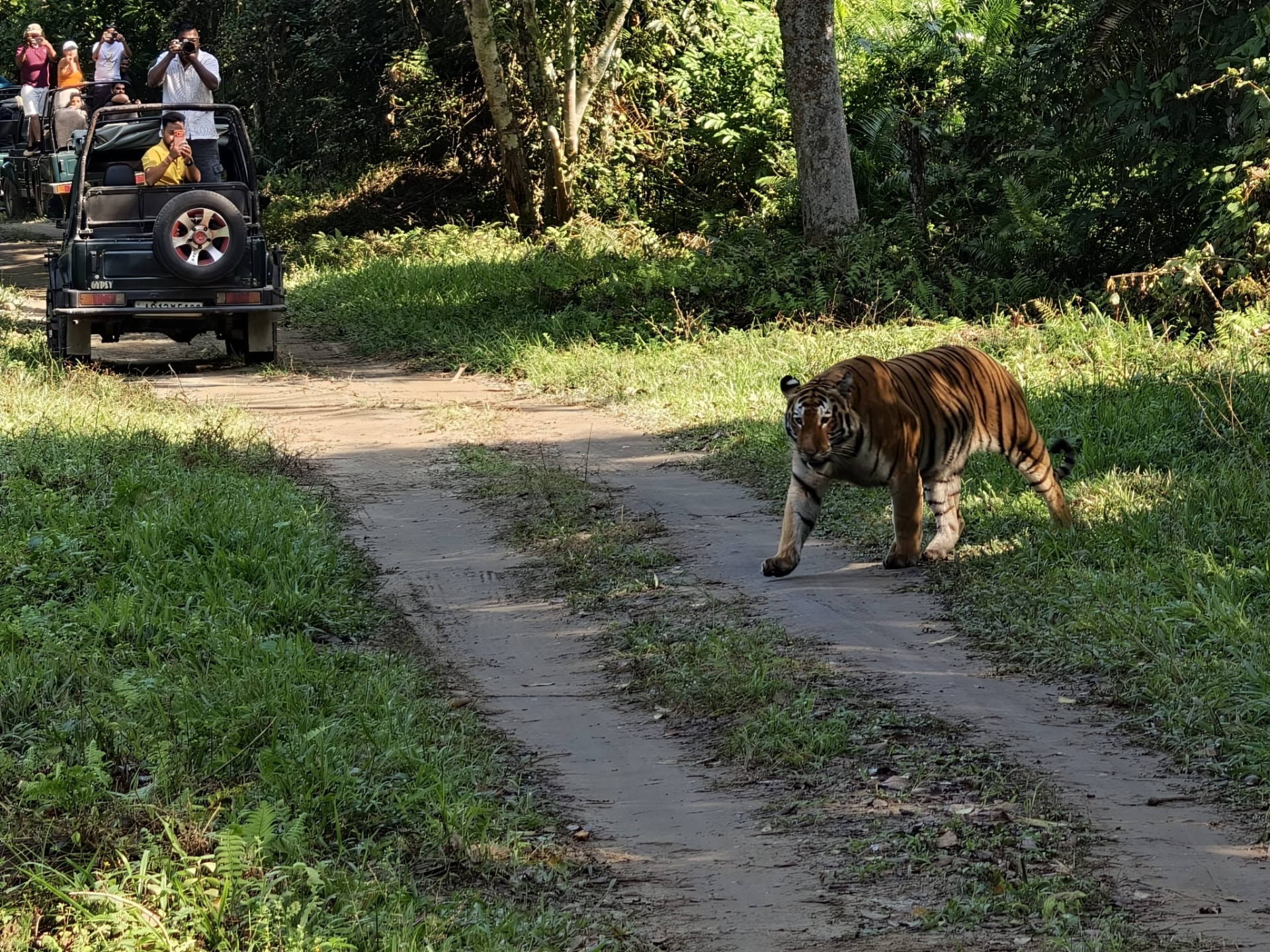
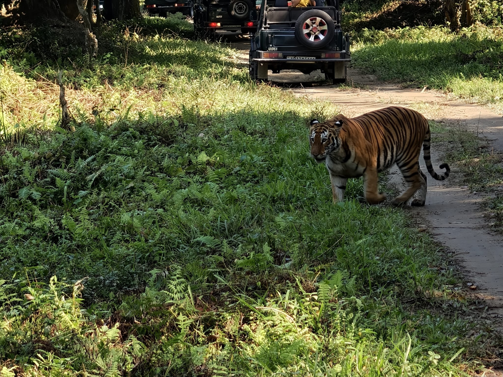
The unusual part of this itinerary was Kaziranga. Instead of one standard safari, the group travelled through four separate ranges of the park — Burapahar, Central, Western and Eastern — and on the Eastern Range morning they saw a tiger.
- Duration
- 19 Days
- Destinations visited
- Guwahati · Cherrapunjee · Mawlynnong · Dawki · Shillong · Balipara (Wild Mahseer) · Kaziranga National Park · Kohima · Kisama Heritage Village · Jorhat · Majuli · Namphake · Duliajan · Dibrugarh
From the Brahmaputra to the Khasi Hills
The journey began in Guwahati, on the Brahmaputra, and turned south the following morning. Within two hours the plains give way to the southern edge of the Shillong plateau, and the road climbs steadily into the Khasi Hills of Meghalaya before running out towards Cherrapunjee.
It is a short drive with a large change in it. The heat and river light of Assam are replaced by cloud, pine and open grassland, and by the deep gorges that fall away southwards towards the Bangladesh plain.
Cherrapunjee and the Root Bridge Country
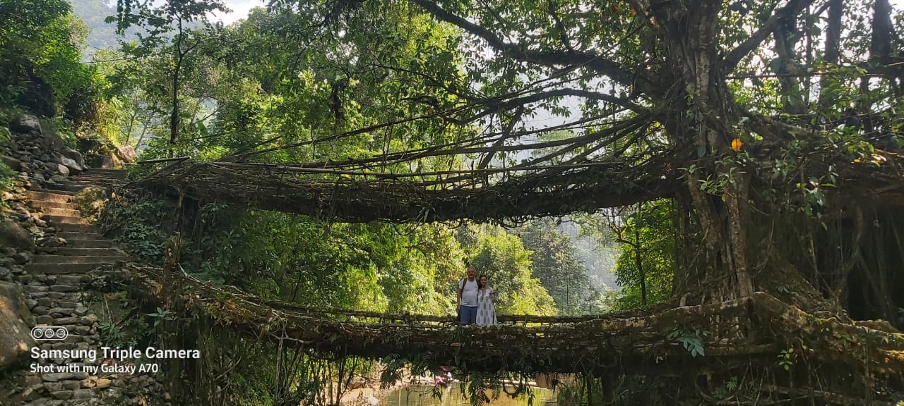
A full day was given to Cherrapunjee — the waterfall escarpments, the plateau grassland, and the living root bridge landscape below it, where Khasi communities have trained the aerial roots of Ficus elastica across streams for generations.
The bridges are not monuments. They are working village infrastructure in a place that receives some of the heaviest rainfall on earth, which is why they were grown from living wood rather than built from timber that would rot.
Mawlynnong, Dawki and the Road to Shillong
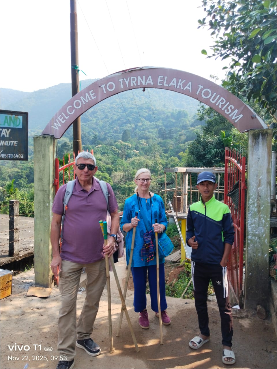
Rather than returning directly to Shillong, the group carried on through southern Meghalaya. The road runs east along the escarpment to Mawlynnong, a Khasi village widely known for the way it maintains itself, and then drops to the Umngot river at Dawki, close to the international border.
Only after Dawki did the route turn north and climb again to Shillong for the night — a longer day, but the one that makes geographical sense of this corner of the state.
Into Assam's Tea Country: Wild Mahseer
The fifth day left Meghalaya altogether, descending from the plateau, crossing the Brahmaputra and running north-east through Assam to Balipara.
Wild Mahseer, a heritage tea bungalow estate near Balipara, marked the change in the journey's character. After several days of hill roads and gorge country the itinerary slowed deliberately: flat land, old tea gardens, tall trees and a much quieter pace.
A Slower Day at Balipara
The sixth day stayed at Wild Mahseer and in the tea garden landscape around it. It was built into the itinerary as a rest day, and it worked as one.


Four Ranges of Kaziranga
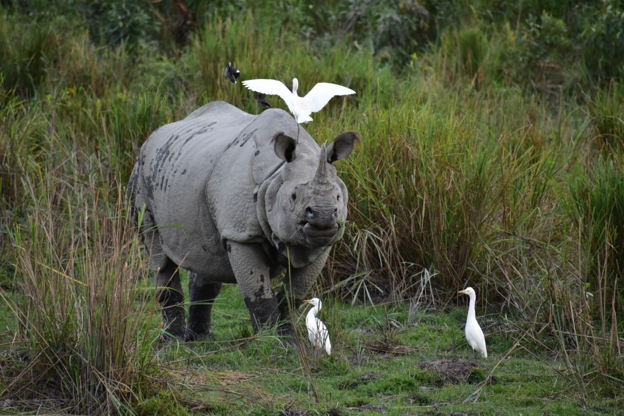
Most visitors see one range of Kaziranga National Park, usually the Central Range at Kohora, and leave with a good impression of grassland and rhinos. Over three days this group travelled through four.
The park is far from uniform. Its ranges differ in habitat, in vehicle traffic and in the animals they reliably hold, and moving between them changes what Kaziranga looks like from one morning to the next.
Burapahar — The Quieter Beginning
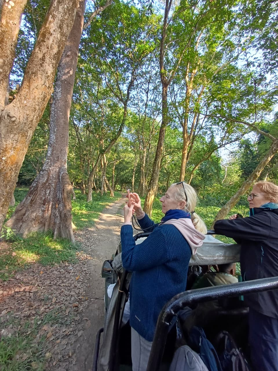
Leaving Wild Mahseer in the morning, the group travelled towards Kaziranga and took their first safari in the Burapahar Range, at the western end of the park.
Burapahar is the least visited of the four. It is hillier and more wooded than the famous grassland ranges, and there were comparatively few other vehicles — which made it, by the group's own reckoning, one of the most enjoyable drives of the three days. They continued to their Kaziranga stay afterwards.
Central and Western Kaziranga
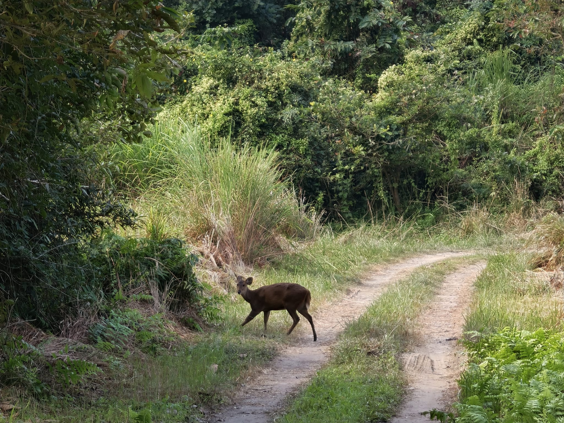
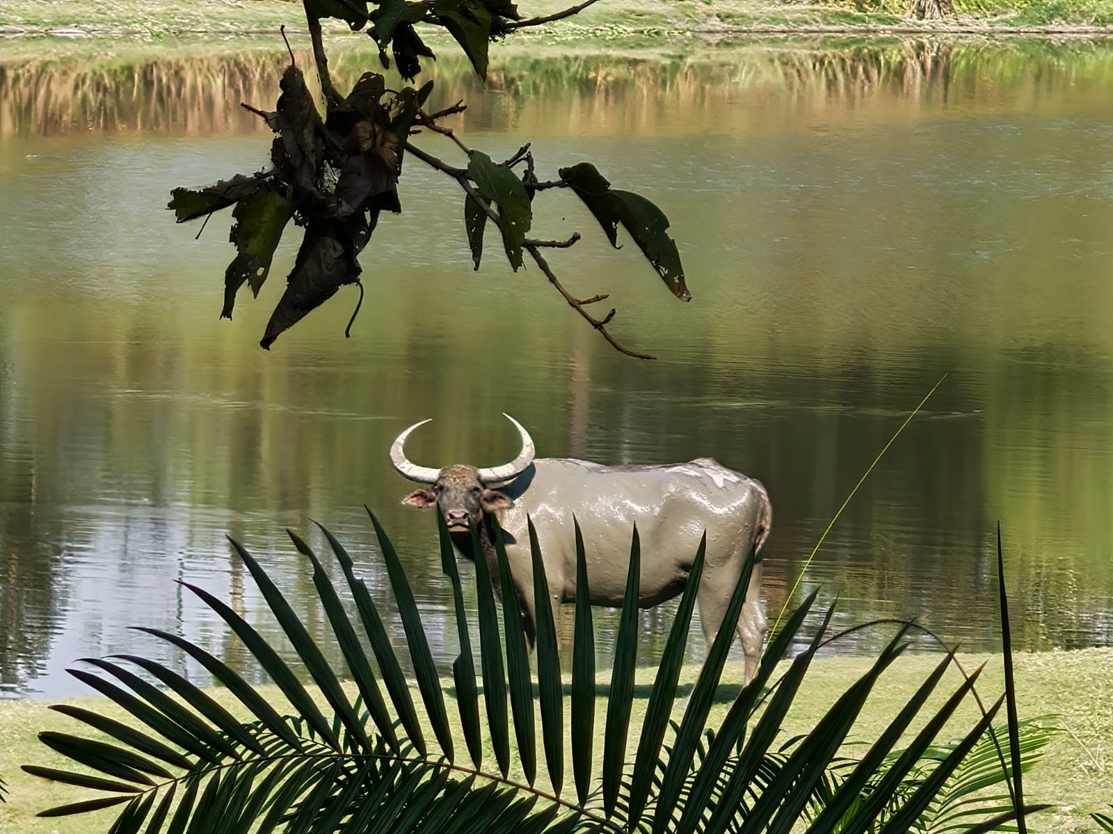
The eighth day held two separate safaris. The morning was spent in the Central Range at Kohora — the open grassland and beel country that most photographs of Kaziranga come from.
The afternoon moved to the Western Range at Bagori, a different landscape again, with more water and a different pattern of movement through the day. Two drives in two ranges is unusual for a single day, and it made the scale of the park much clearer than any one of them would have.


Eastern Range — And the Tiger
The ninth morning was spent in the Eastern Range at Agoratoli, the wettest and most bird-heavy part of Kaziranga.
During that safari they saw a tiger. Kaziranga holds one of the densest tiger populations of any protected area in the world, but the grass is tall and the animals are rarely seen; most visitors, including most repeat visitors, never do. It was not what the group had come to Kaziranga for, and it is the reason the fourth range earned its place in the itinerary.
From the Plains to the Naga Hills
From Kaziranga the route left the Brahmaputra floodplain and turned south-east, crossing into Nagaland and climbing through the Angami hills to Kohima at around 1,400 metres.
It is a change of terrain, climate and culture within a single day's drive: grassland and tea below, terraced ridgelines and village clusters above.
Three Days at the Hornbill Festival
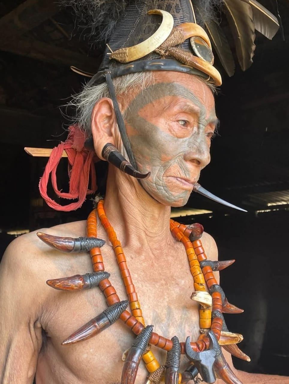
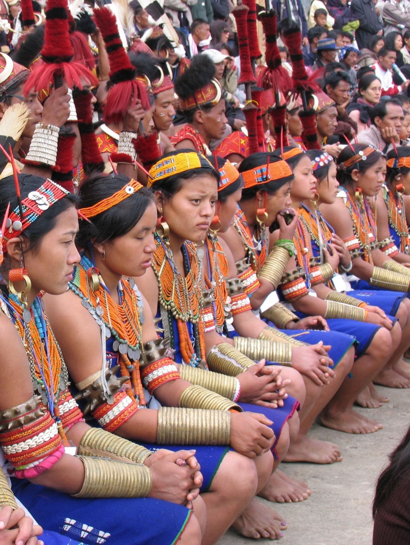
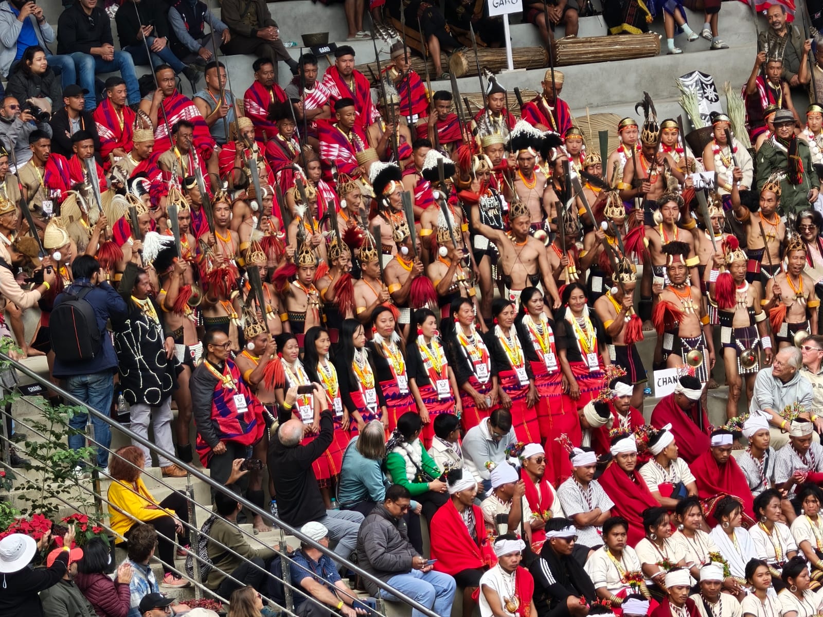
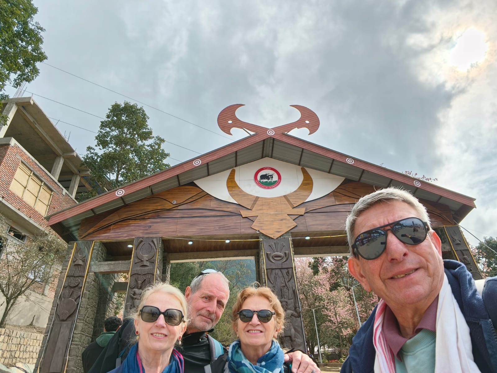
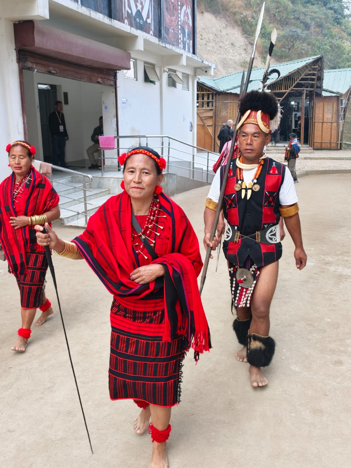
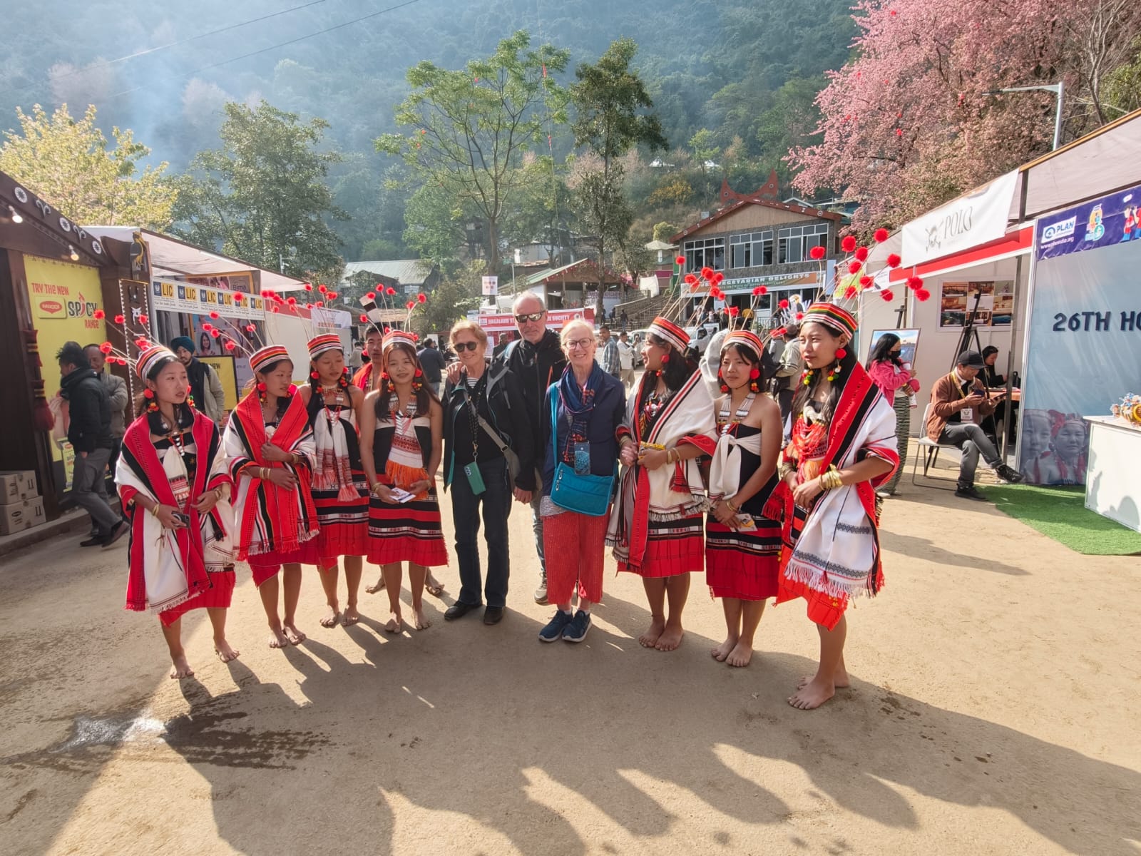
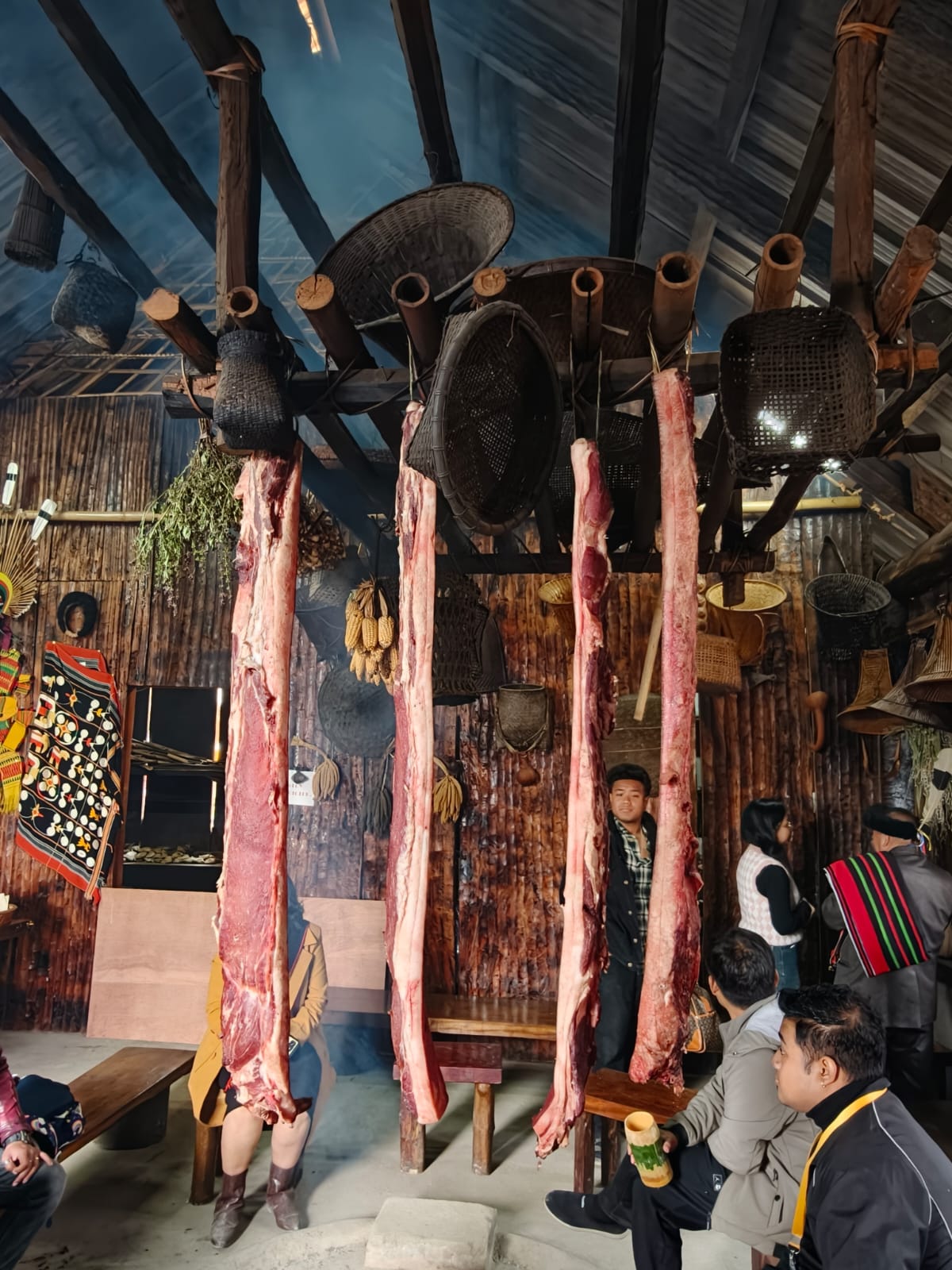
The group spent three full days at the Hornbill Festival at Kisama Heritage Village, south of Kohima. Held in the first week of December, the festival brings together the recognised tribes of Nagaland, each with its own morung — a full-scale traditional house — built and staffed around the central arena.
Three days matters here. A single visit tends to mean one arena programme and a walk past the craft stalls. With three, the group could watch the arena sessions of log drumming, songs and dance presentations, follow the processions of participants in and out between the morungs, and spend time in the quieter parts of Kisama — the craft and weaving areas, the individual morungs, and the long gaps between scheduled events when the site is at its most ordinary and most interesting.
Back to Upper Assam: Jorhat
The fourteenth day came down out of Nagaland and back into Upper Assam, to Jorhat — the practical transition point between the Naga hills and the Brahmaputra, and the road head for the crossing to Majuli.
Across the Brahmaputra to Majuli
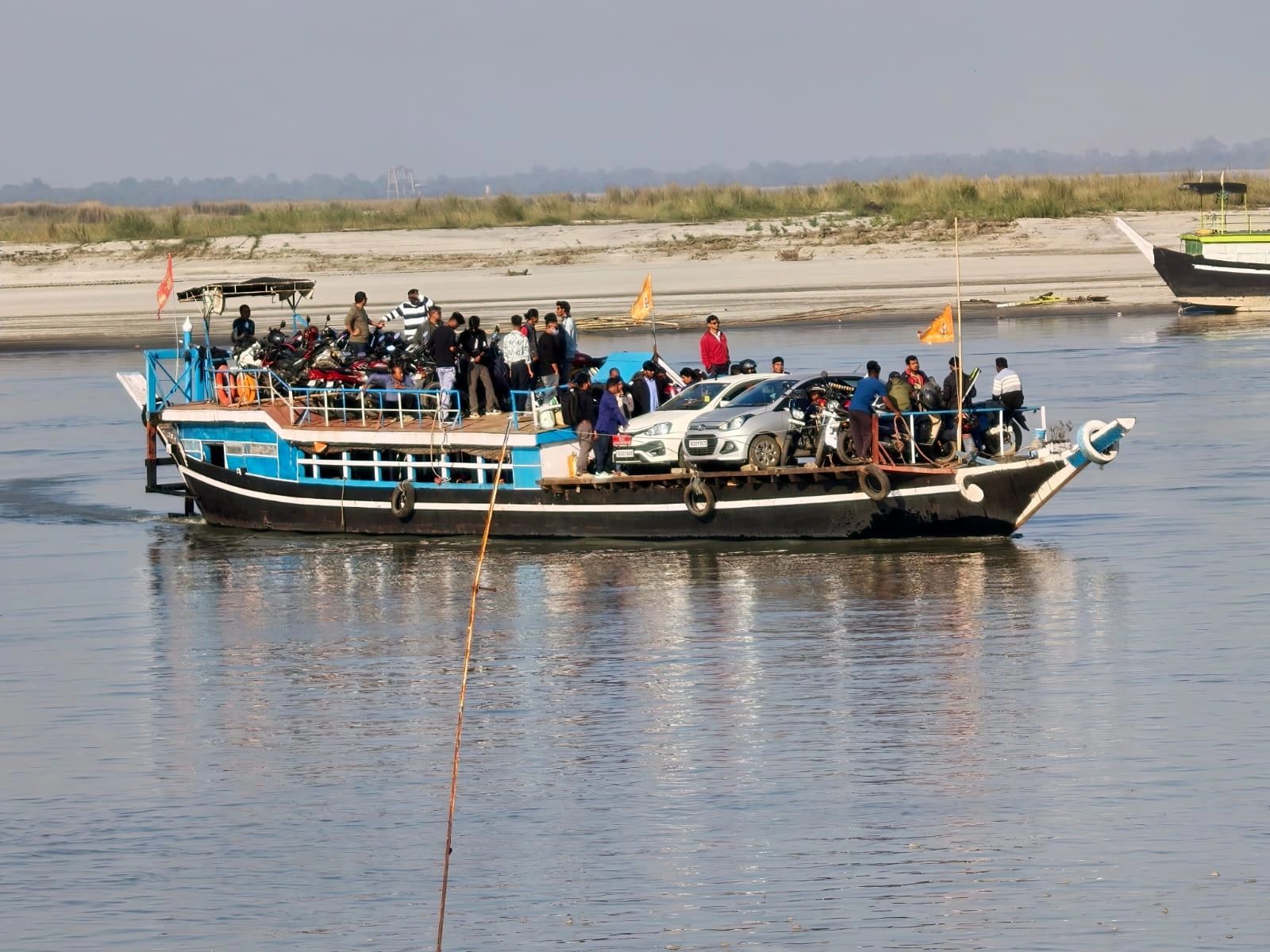
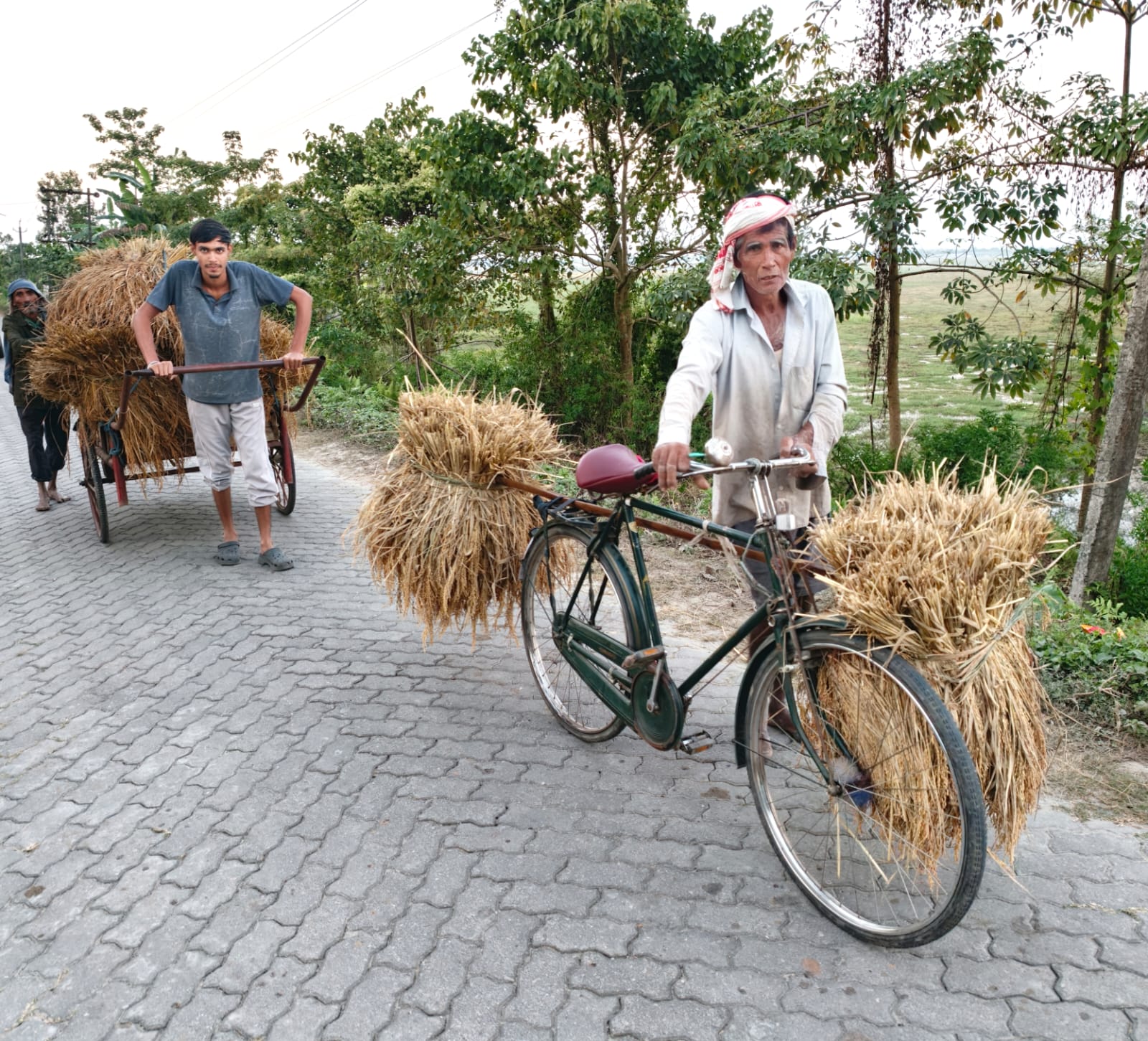
From Nimati Ghat the ferry crosses to Majuli, one of the great inhabited river-island landscapes of the Brahmaputra. Vehicles and passengers come off the ramp onto sand, and the pace drops immediately.
The island is low, flat and shaped by the river, which takes land from one side and gives it back on the other.

Majuli — Satras, Villages and Masks
A day on Majuli went to its Vaishnavite satras, the monastic institutions founded in the tradition of Srimanta Sankardeva that have shaped Assamese religious and performing arts for close to five centuries.
The island is also the home of Assam's mask-making tradition, in which bamboo, clay and cloth masks are built for the devotional dance-dramas performed at the satras. Between the satras lie ordinary village landscapes — paddy, ponds, bamboo groves and stilted Mising houses.
Further East: Majuli to Duliajan
The seventeenth day carried on east through Upper Assam to Duliajan, in the oil and tea districts near the far end of the valley. The reason for coming this way became clear the following day.
Namphake and a Personal Final Day
The group visited Namphake, the Tai Phake village on the Buri Dihing river. Its community descends from Tai migrants who settled in Upper Assam in the late eighteenth century, and it keeps a Theravada Buddhist monastery and a language and script that exist nowhere else in the state.
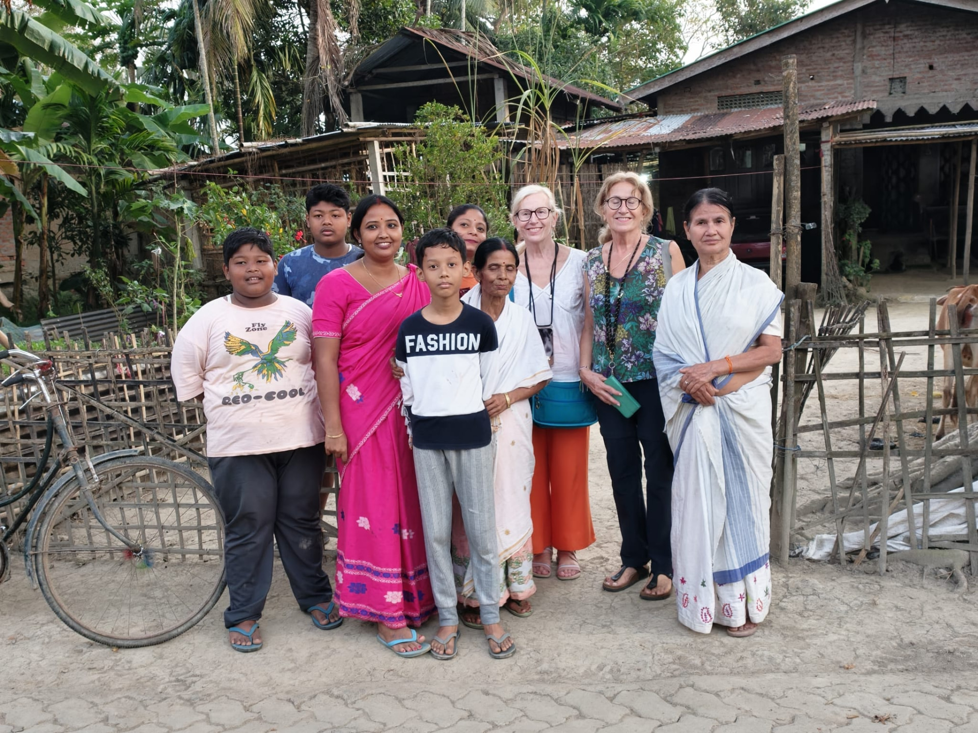
Afterwards they went on to Duliajan to visit the family home of the owner of Living Roots Expeditions. That visit was the reason the itinerary came this far east at all — an ordinary house call at the end of a long journey, rather than another entry on a route.
The Road to Dibrugarh
On the nineteenth day the group drove the short distance to Dibrugarh and flew out. Three states, four ranges of one national park, three days of a festival, one river island and one tiger — and, at the end of it, a family living room in Duliajan.
Route
- 01Day 1 — Arrival in Guwahati, Assam
- 02Day 2 — Guwahati → Cherrapunjee (into the Khasi Hills of Meghalaya)
- 03Day 3 — Cherrapunjee (root bridge landscape, waterfalls, Khasi plateau)
- 04Day 4 — Cherrapunjee → Mawlynnong → Dawki → Shillong
- 05Day 5 — Shillong → Balipara, Assam (Wild Mahseer)
- 06Day 6 — Wild Mahseer and the tea garden landscape
- 07Day 7 — Wild Mahseer → Burapahar Range safari → Kaziranga
- 08Day 8 — Kaziranga: Central Range (morning), Western Range (afternoon)
- 09Day 9 — Kaziranga: Eastern Range safari (morning) — tiger sighting
- 10Day 10 — Kaziranga → Kohima, Nagaland
- 11Day 11 — Hornbill Festival, Kisama Heritage Village
- 12Day 12 — Hornbill Festival, Kisama Heritage Village
- 13Day 13 — Hornbill Festival, Kisama Heritage Village
- 14Day 14 — Kohima → Jorhat, Upper Assam
- 15Day 15 — Jorhat → Majuli (Brahmaputra crossing)
- 16Day 16 — Majuli (satras, villages and mask-making)
- 17Day 17 — Majuli → Duliajan
- 18Day 18 — Namphake Village, and a family visit in Duliajan
- 19Day 19 — Duliajan → Dibrugarh, departure
Travel Tips
- —Meghalaya's southern loop — Cherrapunjee, Mawlynnong and Dawki — works far better as a through-route than as day trips out of Shillong.
- —Kaziranga's ranges must be booked individually; combining Burapahar, Central, Western and Eastern needs at least three days in the park.
- —Burapahar is the quietest range and rewards travellers who care more about landscape and solitude than a checklist of sightings.
- —Hornbill Festival accommodation around Kohima fills months ahead for the first week of December.
- —Majuli runs on ferry timings rather than clock timings; keep the crossing days flexible.
Frequently Asked Questions
How many ranges does Kaziranga National Park have, and can you visit more than one?
Kaziranga's tourist zones are usually described as four ranges — Burapahar in the west, Central at Kohora, Western at Bagori and Eastern at Agoratoli. Each is entered separately and each has a different habitat, so visiting several, as on this journey, gives a much fuller picture of the park than a single safari.
Can you see tigers in Kaziranga?
Kaziranga has one of the highest tiger densities of any protected area, but the grass is tall and sightings are uncommon. This group saw one during a morning safari in the Eastern Range. It should be treated as a rare piece of luck rather than an expectation.
Is 19 days enough for Meghalaya, Assam and Nagaland?
Nineteen days is comfortable for the three states if the Hornbill Festival is included. It allowed three days in Meghalaya, a rest day in the tea country, three days across four Kaziranga ranges, three days at Kisama, and the Upper Assam leg through Majuli and Namphake without long, rushed drives.
When is the Hornbill Festival held?
The Hornbill Festival takes place at Kisama Heritage Village near Kohima in the first week of December each year. Exact dates are announced by the state, so we confirm them before finalising an itinerary.